App
On the web now. iOS coming soon.
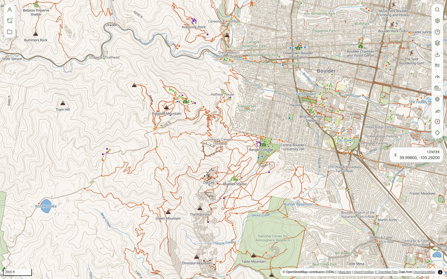
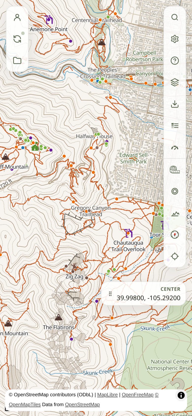
Plan on clear contours, take packs offline, and keep your tracks yours. The web app is live. A native iOS app is coming soon.
What you can do now
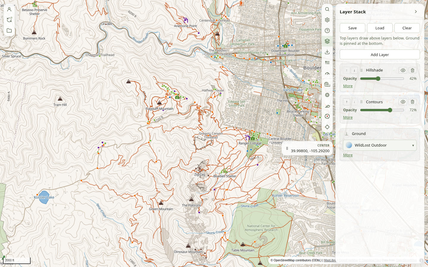
- Read terrain on clear contours and the WildLost Outdoor ground.
- Plan routes, record tracks, and keep a library of map objects.
- Download offline regions when you leave coverage.
- Stay in Local mode, or sign in when you want the same library on more than one device.
Questions? See the FAQ, or email [email protected].